


Drones for Good
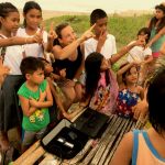
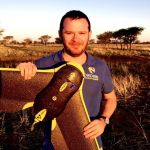
Drones For Earth, former Drone Adventures, is a non-profit organization founded in Lausanne, Switzerland in 2013. We fly missions throughout the world, connecting people who know drones best with people who need them the most.
We see drones as a powerful and exciting tool that can be used to make the world a better place. Our goal is to demonstrate and promote the great potential of drones to protect our planet and support local communities.
Let our drones help you!
You’re a biologist, an archeologist, an aid worker, a forest ranger. You’re curious about how drones can help you do your job faster, better, cheaper, so that you can focus on what matters: helping the people and the environment around you.

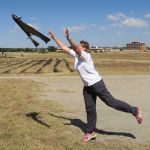
WHO WE ARE
|
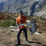


WORK WITH US
The key to every Drones For Earth project is to have you, the application expert, tell us what data you need. Get in touch with us if your work coincides with our three main goals.
Mail: info@dronesforearth.org
PROTECTING OUR PLANET
Conservation
Wildlife protection
Ecosystem management
Land management
HELPING THE PEOPLE
Humanitarian aid
Development, urban planning
Disaster management, Search and Rescue
Risk evaluation
PRESERVING OUR CULTURE
Archeology
Sustainable tourism
Architecture
Theatre
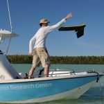
OUR SERVICES
OUR PARTNERS


